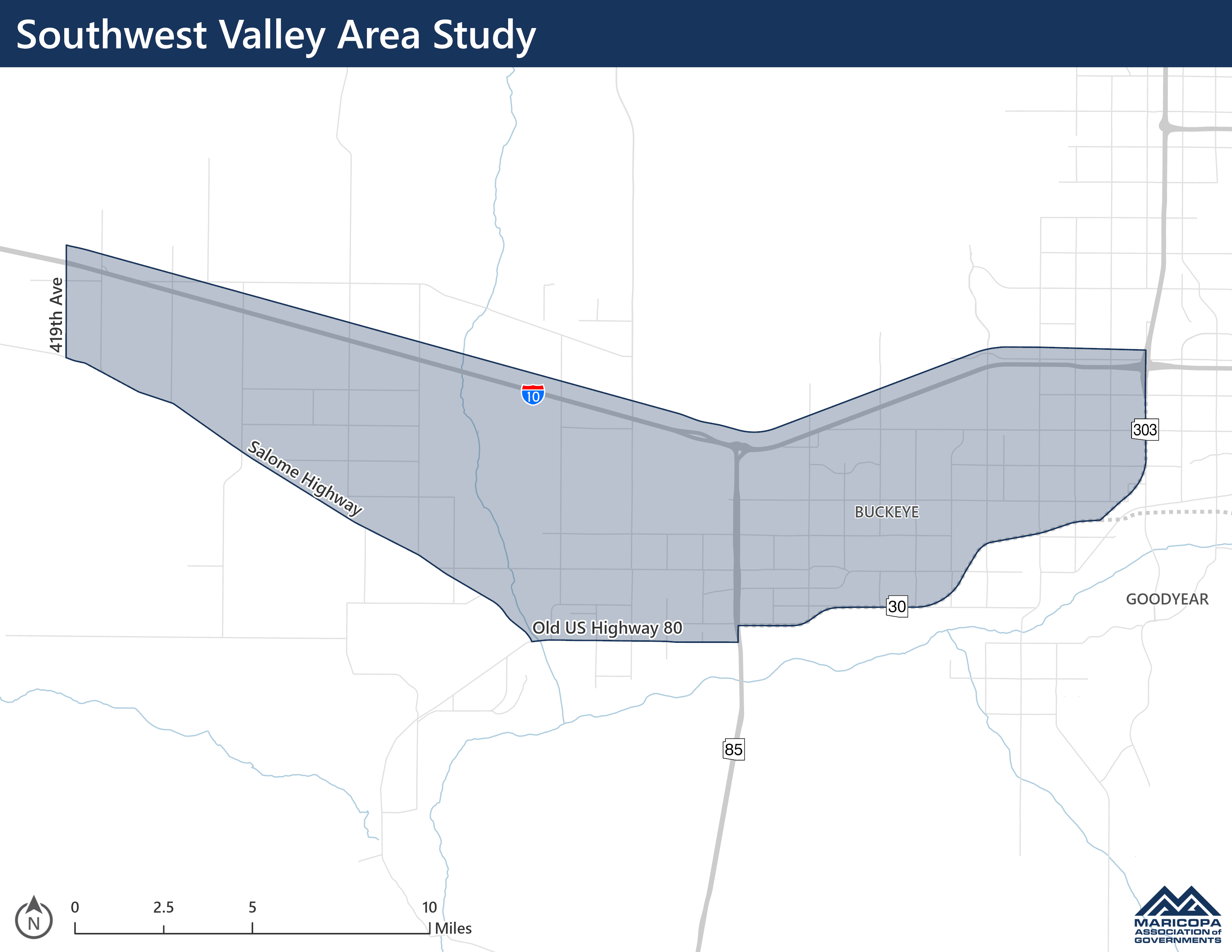
Study Background/Area
The Southwest Valley—located west of Loop 303 (Estrella Freeway) and south of Interstate 10 (I‑10)—continues to experience significant growth in residential, commercial, and industrial development. This expansion is already affecting, and will continue to affect, the roadway networks within Maricopa County, the City of Buckeye, and the City of Goodyear.
Although each jurisdiction has established its own circulation elements, this plan will integrate those efforts to create a cohesive and well-connected future roadway network. The study will evaluate existing plans and develop a multimodal transportation framework that supports all local communities and the broader region.
Key considerations include major land uses such as the Palo Verde Nuclear Plant, approved and proposed master-planned developments, planned and approved commercial and industrial centers, and connections to existing highways—including I-10 and SR 85—as well as proposed future corridors such as State Route 30 (SR 30) (the 2023 MAG Regional Strategic Investment Improvement Program (RSTIIP) has identified funding in Phase IV and V) and Interstate 11 (I-11) (no funding has been identified as of 10/14/2026).